 43rd to 44th 4000 m summits
12 May 2024 · Bernese Oberland
Mönch & Jungfrau: committing solo skiing in the vastness of the glaciers
on skisThe track
Distance and elevation gain from the Strava tracks; profile drawn from the GPS. Hover over the map or the profile to locate a point along the track.
The figures
On 12 May 2024 (start 09:19, finish 20:28) · day trip
Summits & route
Day by day
- D1Jungfraujoch > Mönch SE ridge and descent of the South face > Jungfrau > Rottalhorn > Louwitor > Lötschenlücke > Blatten
Topos & references


The story
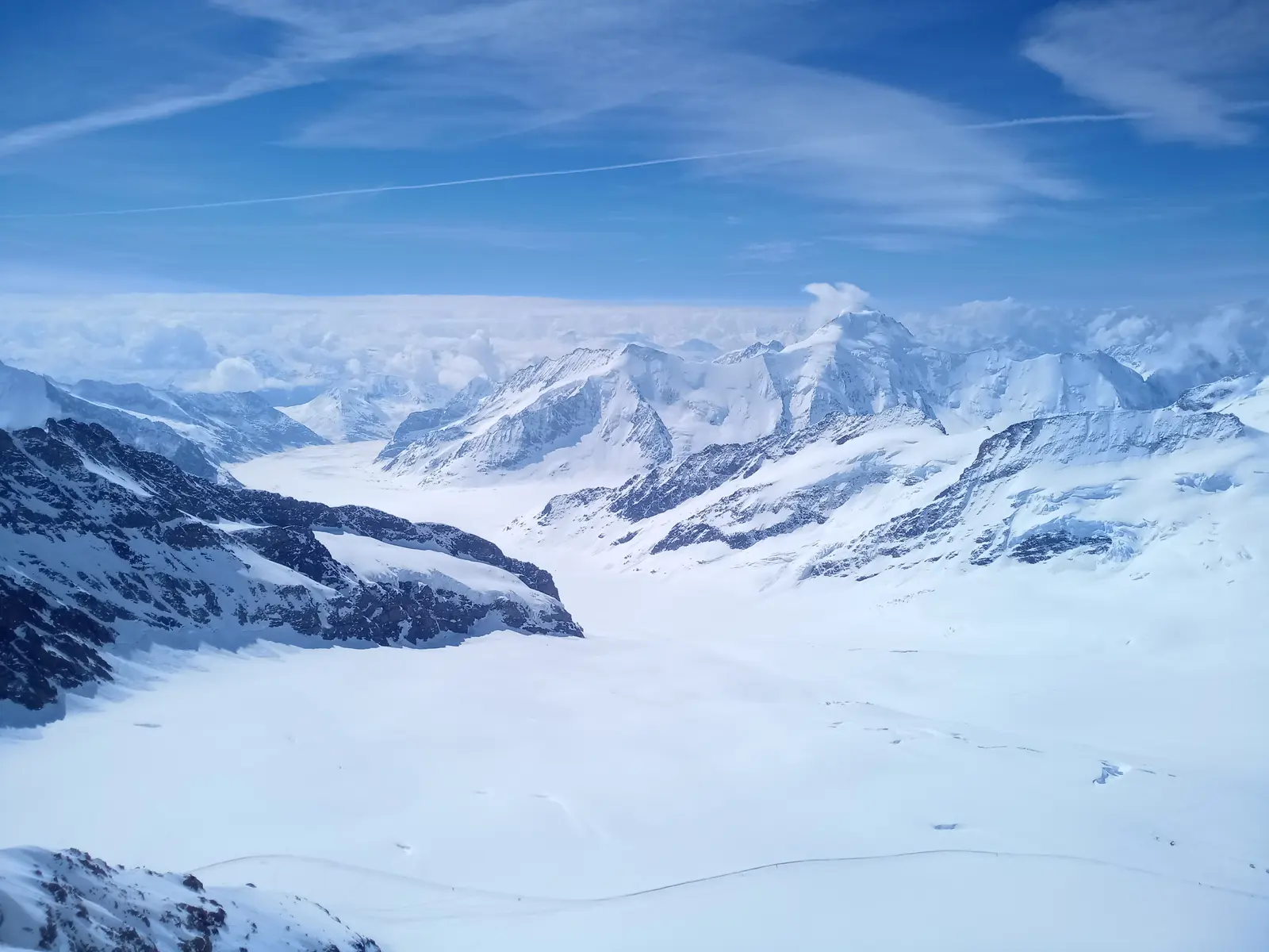
The basic plan was a nice traverse from the Jungfraujoch to the Lötschental. Spiced up with a few summits and detours, just to see a bit of the country. (And to complete the ascent of all the 4000ers of the Bernese Alps.)
Where things got complicated was that the Jungfraujoch train arrived late, the weather forecast wasn't all that good, and the completely unforecast fog gave way to even less forecast snow.
Hence the total washout at the end of this outing: I had set off for a nice solo romp, expecting gentle conditions, and first the lack of visibility and then the snow gave me a really hard time. Not to mention the coup de grâce: heavy rain for the whole descent of the Lötschental.
And quite apart from these difficult conditions, I have to admit I expected to be in better shape. I certainly felt those 2200 m of ascent… It must be down to the large number of transitions, doing all that climbing entirely between 3200 m and 4200 m, and a big sleep deficit. And perhaps also the mental load of being alone in terrain less welcoming than expected?
But of course what counts is this long (very long) link-up of 4 new summits, with a nice variety of glaciers and ridges on the way up, and superb steep slopes to ski on the way down.
In detail:
- Mönch 4110 m: up the SE ridge, down the South face from the summit - Jungfrau 4158 m: up the SE ridge, down on skis - Rottalhorn 3971 m, there and back in crampons from the Rottalsattel (no track, deep snow, corniced, very poor visibility… I didn't take the risk of skiing it) - Louwihorn 3776 m, an obvious summit but total fog, zero visibility… - And then the descent of the Kranzbergfirn in falling snow, the climb back up the Grosser Aletschfirn, and the very long descent of the Lötschental.
A 100% public-transport outing: alarm at 4:30 for a sequence of bike / train / train / train / train / cable car / rack railway (almost 5 hours between waking up and having my skis on). And on the way back, 5 km run flat out in the pouring rain to catch the bus in Blatten, before a train / train / bike combo.
A full day, and a fine way to honour that prodigious playground, the Bernese Alps in spring.